
The National Weather Service has issued a Winter Weather Advisory for Missoula County, effective from 6 PM Friday until noon Saturday. Snow is expected with a likelihood of minor impacts greater than 60-90 percent. Total snow accumulations for areas above 4000 feet could reach 7-14 inches, with gusty winds of up to 35 mph. Below 4000 feet, residents may see a trace to 1 inch of snow, particularly on unpaved surfaces.
This advisory affects Eastern Lemhi County, Northern Clearwater Mountains, Southern Clearwater Mountains, West Glacier Region, Bitterroot/Sapphire Mountains, and Lower Clark Fork Region. Motorists should be aware of potential mountain pass impacts, especially at Lookout, Marias, Lolo, and Lost Trail passes.
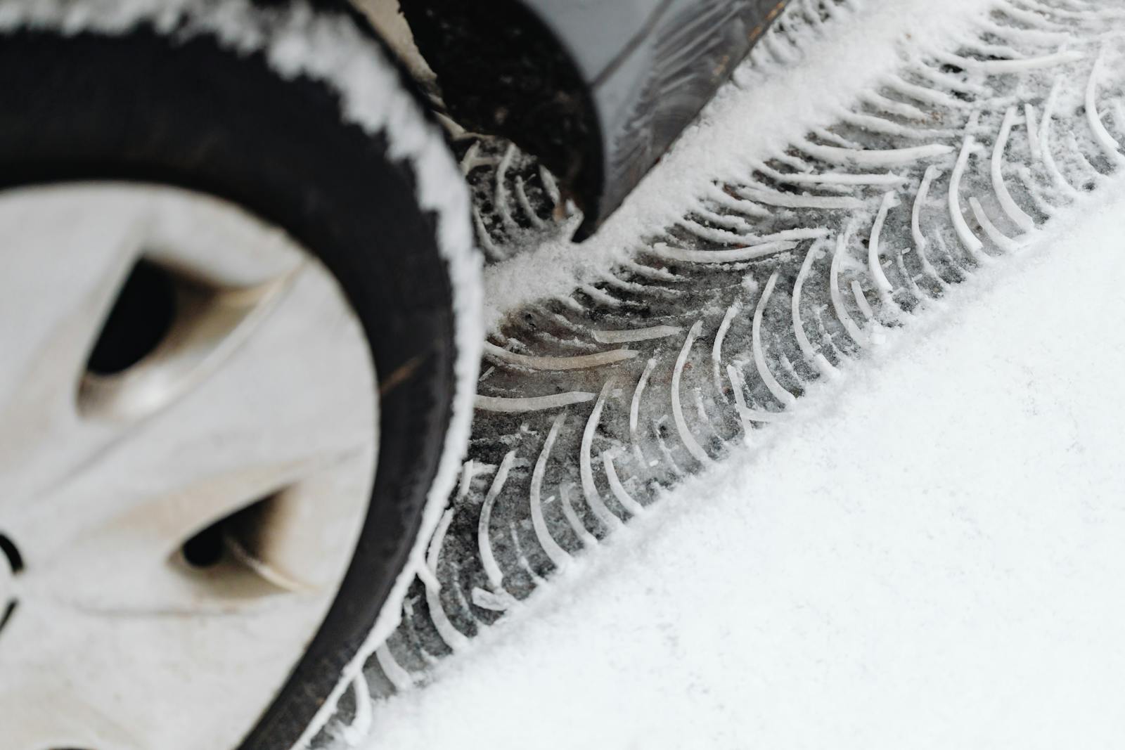
Residents are advised to use caution while driving as winter traveling conditions may lead to a few inconveniences in normal activities.
| What | Snow expected with total accumulations of 7-14 inches above 4000 feet. |
| Where | Eastern Lemhi County, Northern Clearwater Mountains, Southern Clearwater Mountains, West Glacier Region, Bitterroot/Sapphire Mountains, Lower Clark Fork Region. |
| When | From 6 PM Friday to noon Saturday. |
| Impacts | Winter traveling conditions with minor inconveniences expected. |